Ruta de Los Acantilados | Comunidad Valenciana
By Roberto – (Updated Mar 2023)
⏱ 4 min
Ruta de los Acantilados is one of the best Mediterranean walks one can do in Alicante. This complete route of the cliffs and lookouts of the Benitachell-Moraira area starts at the Morro del Roabit viewpoint, to go through the new section to Morro Falquí and connect with Cala los Tiestos. You go back to the Cala Moraig car park to go to the viewpoint of les Morres and finally to the secluded Cala Llebeig. After that, you return to the Cala Moraig car park and return by road.
Ruta de los Acantilados is a combination of in and out and circular type hike You don’t come back through the same way, but to get some places, you go in and out. In terms of difficulty it is complex, there are easy parts like the part from Cala Moraig to Cala Llebeig, but the access to Cala los Tiestos is very hard.
- Location: Coast from Benitachell to Moraira.
- Distance: 10,3 km in and out/round
- Duration: 3 – 3,5 h
- Elevation gain: 991 m
- Difficulty: Medium-Very Hard (access to Cala los Tiestos)
- How to go: The starting point for us was the skatepark at Benitachell. Google it!
Ruta de los Acantilados I: From Benitachell to Morro Falquí
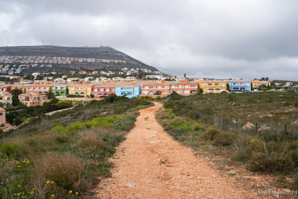
We met our friends at the skate park of Benitachell, point where we will come back 3 hours later. After leaving behind some cute colorful houses, we headed Morro del Roabit lookout.
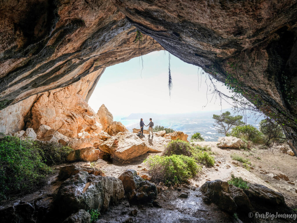
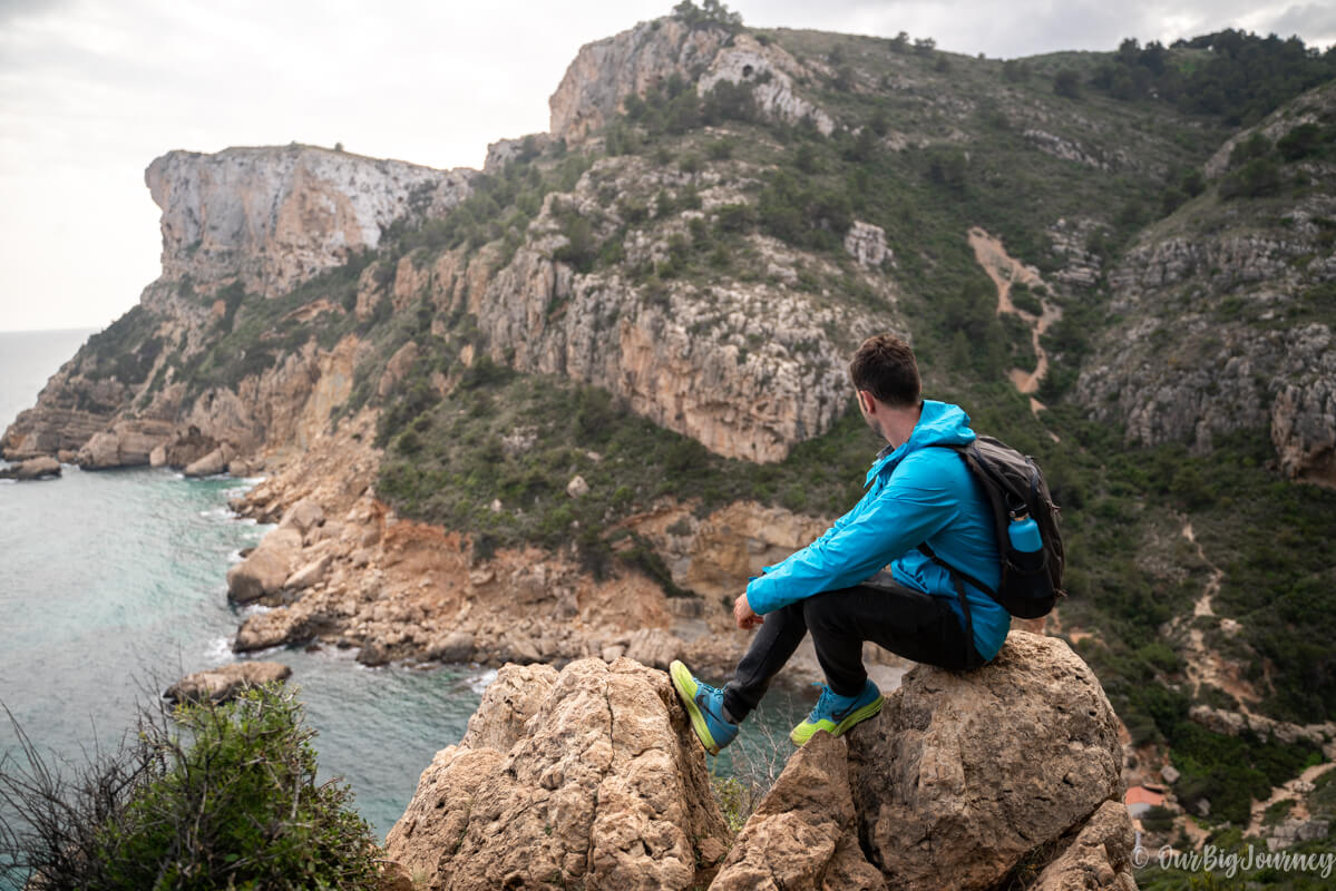
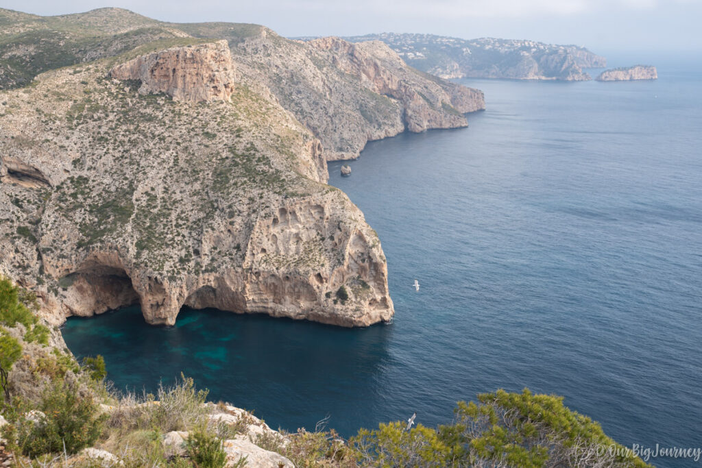
This short way brings you to this rocky landscape of the Mediterranean coast, caves included. Someday soon, we plan to rent a kayak at Cala Granadella – behind the last peninsula of the photo – and come to these coves.
We had almuerzo – Spanish brunch – here, and moved back to follow a new path – inaugurated some months ago – that joins this part with the next lookout: Morro Falquí.
The path changed a lot within some meters, from paved or gravel to mountain terrain. We always encourage you to use the adequate equipment in each occasion. In this case, we came with normal running shoes, and I would recommend something with better grip.
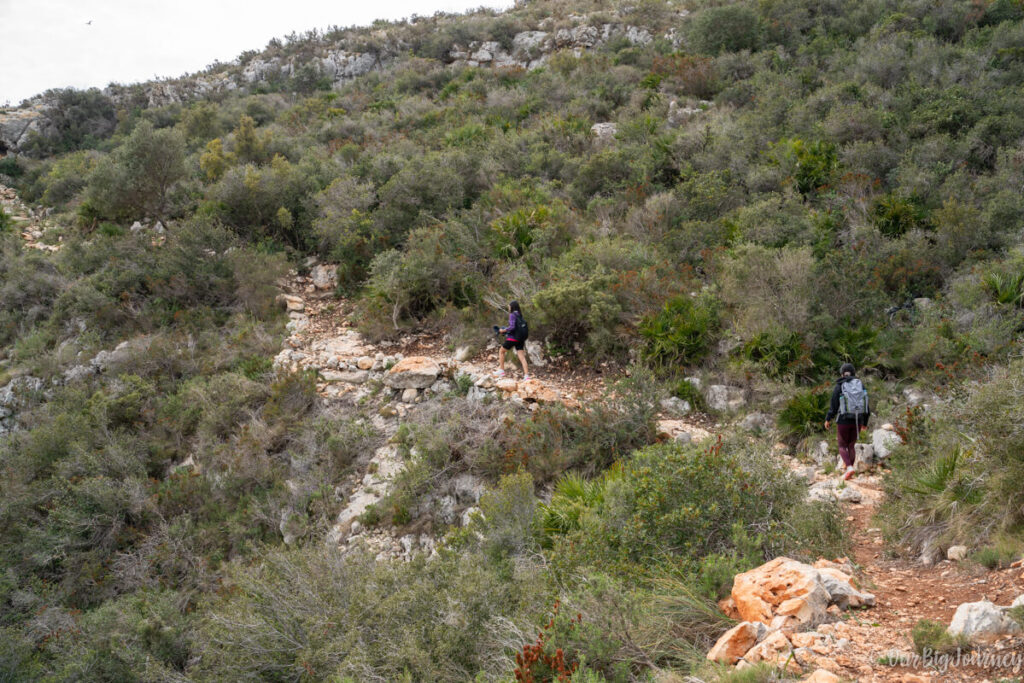
The way to the lookout is moderately difficult but nothing impossible for an average person. Try to follow the GPS track or the color signs, because the path it’s a bit tricky. The views at Morro Falquí are impressive. In one shot you have the entire Cala Moraig and its mythical caves – a little piece of paradise below you – and the rest of the hiking path.
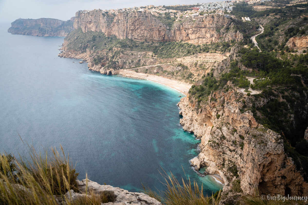
Acantilados II: Morro Falquí to Cala los Tiestos.
I had heard about Cala los Tiestos and I knew getting to it was going to be interesting. What I didn’t expect is the vertigo we were going to experience 😅, but honestly, it made the ruta de los acantilados unforgettable.
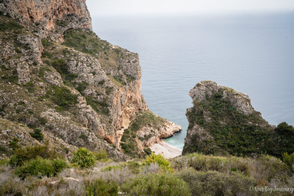
Following the path leaving behind Morro Falquí, we started to go down to reach Cala los Tiestos. This cove is so unique that you can only reach it by foot or kayak from the neighbouring beach, Cala Moraig. I’d never been there and I recommend only doing the hike if you’re hiking. Avoid going there with flip-flops, swimming clothes, freezer, and your umbrella. I mean… you can do it, but read the following first.
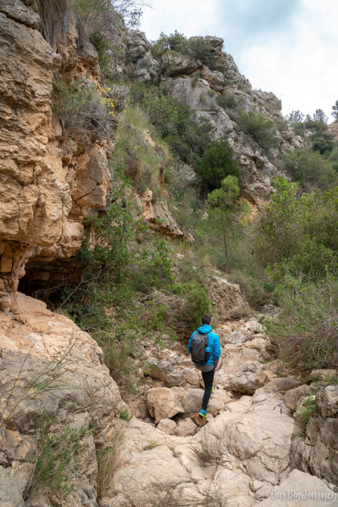
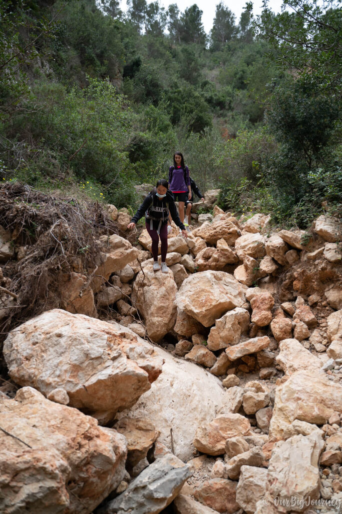
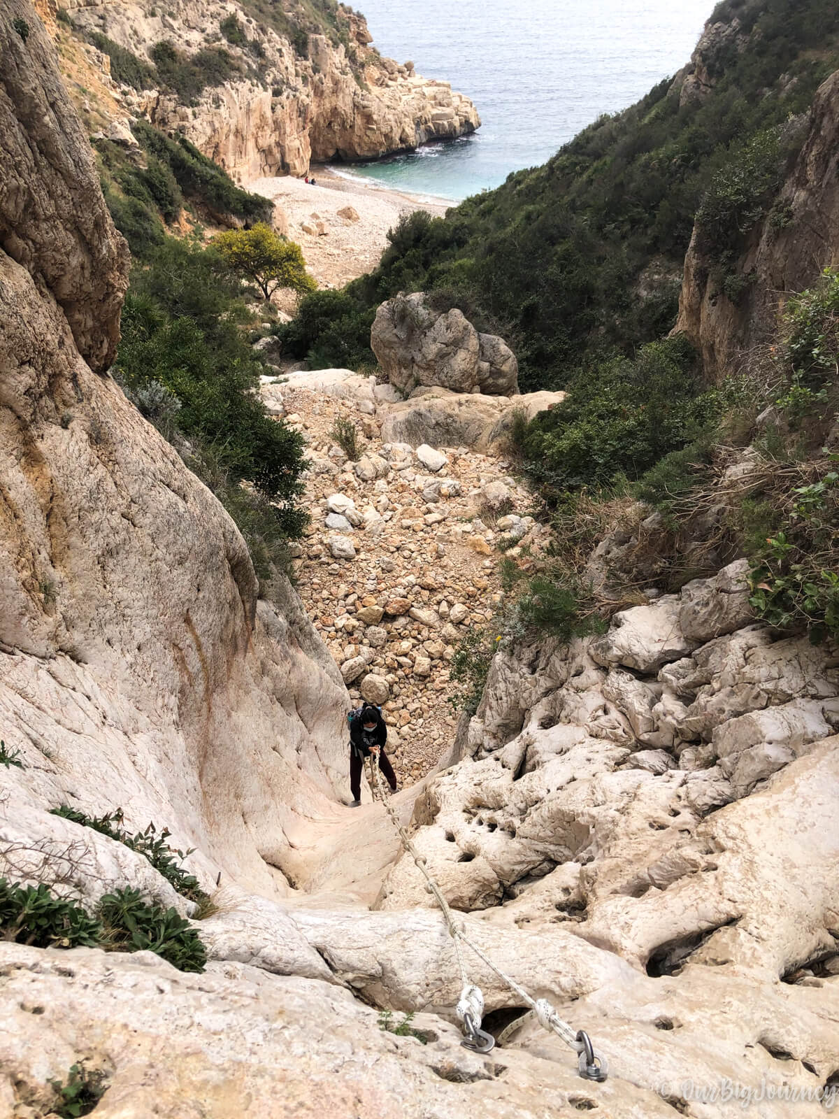
Once you have walked for about 10 minutes over hard rocky terrain, you will see the little Cala los Tiestos in the background. To get to the shore, the only way is to rappel down three rock walls. These drop-offs are 7, 10 and 10 meters each and unless you’re a mountain enthusiast, you’ll see they are no joke.
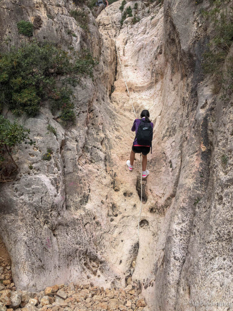
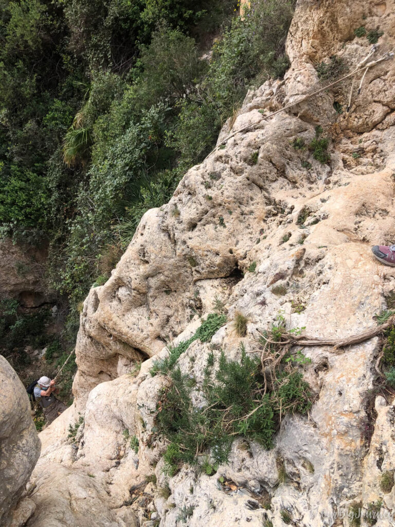
We were a bit frightened because we did not know if we were going to be able go up back again. The second wall is impressive and the third one requires to stop on a cliff, to move the rope.
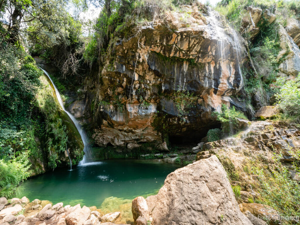
Once you have done one, two or the three walls… you have to come back the same way! Anyway, we retraced our steps in the path to head to the last part of the walk and get to Cala Llebeig. Before starting our last part, we had lunch at the Cala Moraig Lookout, an area that has some tables and good views for a stop.
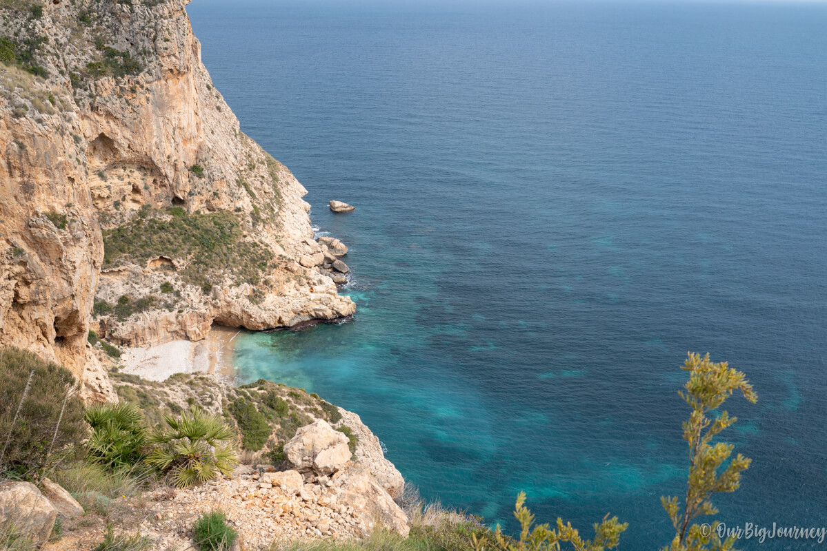
Acantilados III: Heading to Cala Llebeig with coastal views
This last part is “like a secret” for Ellen and me, because we come here every year, drinks included, to have solo time even on a Sunday in August. Nobody – except weirdos like us – comes here in 35ºC heat and no shade on the way!
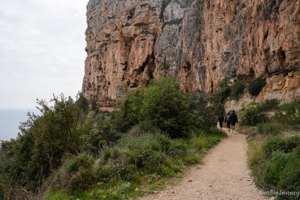
The path is easy to find and easy to walk. It is 99 % flat and the views are worth it. Before getting Cala Llebeig, you will cross an amazing lookout for Cala Moraig, and border the coast on a human made path, made years ago for contrabandists.
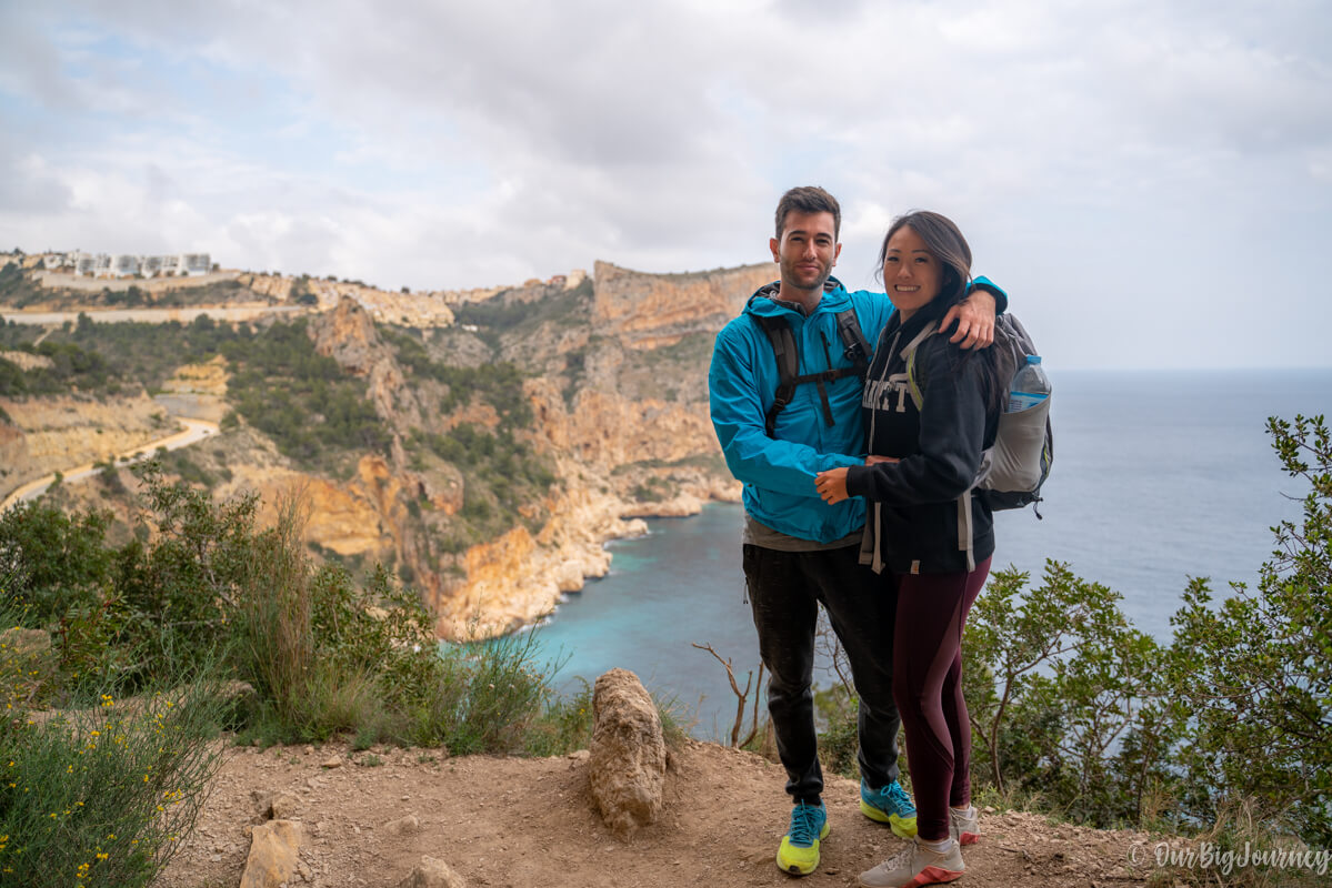
After 30 minutes more or less, you will start to wonder if you are going somewhere and then, you will see your destination, the beautiful Cala Llebeig. Maybe it’s not as wonderful as Cala Moraig, but finding this gem almost empty in the middle of the Summer gives it many points.
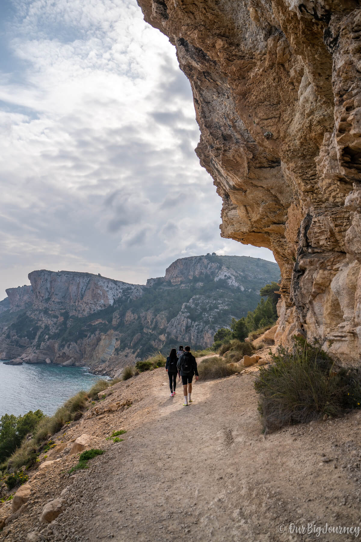
In this case, we ended the track here, instead of going down. To get the water you need to go down and down for another extra 5 minutes. Once we breathed the pure air and enjoyed the views, we decided to come back.
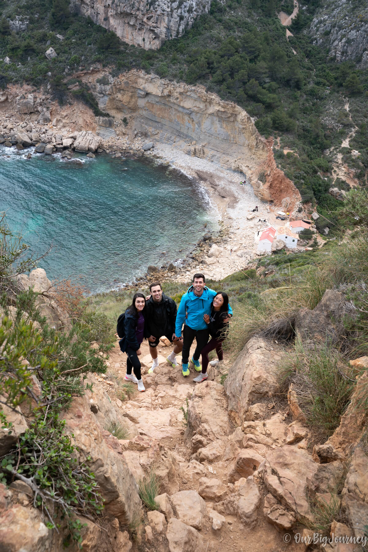
To go back, we changed the itinerary, and from Cala Moraig we went along the road instead of doing all the hike again. By doing this, we created a semicircular route and which shortened it back to the starting point.
Once again, I hope you enjoyed this reading and that we have encouraged you to do the Ruta de los Acantilados.
Want more hikes like ruta de los acantilados?
If you want to hike with us or share your favorite places, let us know! Also, if you want to check more of our hiking content, check out these posts:
