Posets (3.369 m) – Refugio Ángel Orús | Hiking the Pyrenees
By Roberto (Updated Nov 22)
⏱ 7 min
Posets Peak or Pico Posets in Spanish is the second highest peak of the Pyrenees (3.369), after Aneto (3.404 m). Thanks to its position, in an independent mountain chain, the views from the top are extraordinary.
Unless you’re a trail runner, Posets Peak usually takes two days to summit due to the effort. Many people hike it, as we did, up and down, while others incorporate it in a stage of a long trekking, like the Trekking Aneto-Posets which is an astonishing 87 km.
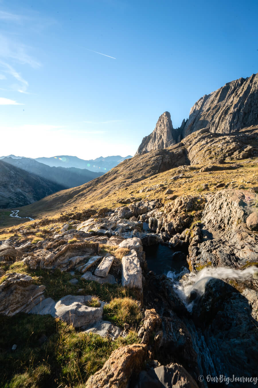
Table of Contents
Basic info about the hike 🏔
| Distance | 15,2 km (+ 1.5 km if you visit the Ibón de Lladarneta) |
| Duration | 8:30 h total (in two days) |
| Elevation Gain | 1.700 |
| Route Type | In and out |
| Difficulty | Medium-Hard (only the last two hours are really demanding) |
| When to go | March to November (with little or no snow) |
The regular route is called “Real Route” and it’s the one we did. Another option to reach the summit is through the Cresta de Espadas, a more difficult and technical path, with II+ passes and high exposure.
What we also did, and highly recommend, is visiting the Ibón (Aragonese word for lake) de Llardaneta on our way back, coming down from Posets Peak. There is a deviation in number 4 in the map below, that brings you there.
Where is Posets Peak – Pico Posets
Posets is located at the eastern part of the Spanish Pyrenees, in the Aragonese part of Posets-Maladeta Natural Park. I plan on doing a well-made map with all the hikes and special places in the Pyrenees, but we still need to discover and photograph more 🤙🏽. For now, let’s say that Posets-Maladeta Natural Park is in Sobrarbe area around Benasque Valley (purple area in the map below).
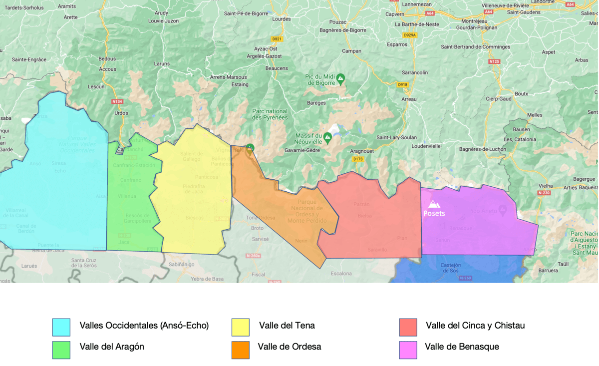
In case this is your first time visiting the Pyrenees, my advice is never doing more than one valley for every 3 days. Otherwise it’s a waste of time driving through secondary roads. There are many other hikes and options to do in and around Benasque Valley.
How to plan the hike to Posets
As mentioned earlier, to do the regular hike you need two days. One short day to go up to the shelter or Refugio de Ángel Orús, and another long day to go to the summit and go back.
Some of the things to look over are:
- Check the shelter Ángel Orús, if they have empty spaces. Check online availability or call directly.
- Confirm the weather before going, in case it’s stormy or heavy rain. We highly recommend Windy.
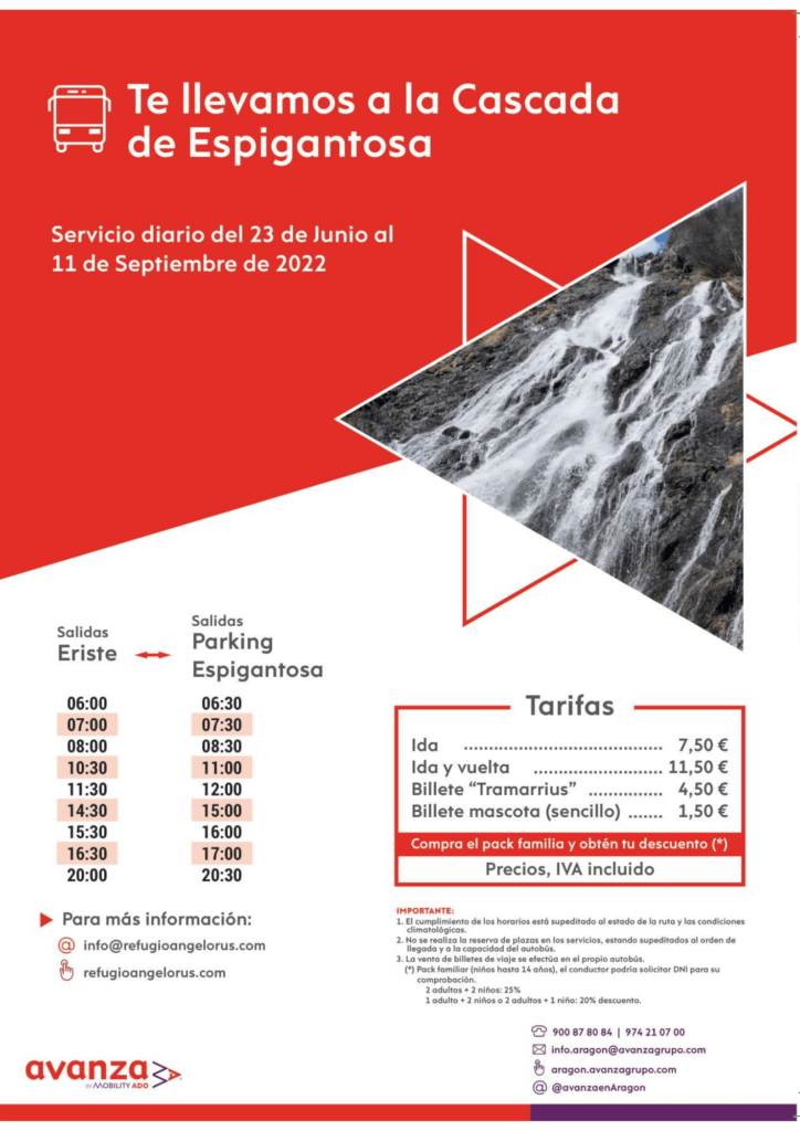
- Check the schedule for the bus to go to the shelter. This is really important and I’ll explain it below.
Getting there 🚌
To reach the shelter Ángel Orús, the best option is to go by car or bus to Parking Espigantosa. From here there is a short walk (less than 2 hours) that brings you to the shelter. The only way to reach the parking is to drive from Eriste, a little town next to Benasque.
During summer season, parking there is not allowed and there is a service bus that goes from Eriste.
In the rest of the year, people can go up with their own cars. Keep in mind that the parking is very limited (around 30 cars), so better go in the early morning. In case you can’t make it to the parking, you’ll need to walk roughly 6 km from Eriste to this parking.
The hike to Posets, step by step
Heading to Refugio Ángel Orús
Some days ago, I did this hike with three friends. I went with Javi, an old friend of mine from the university, and two of his best friends. Ten years ago I did Mount Aneto with him, and we both wanted to repeat a similar experience.
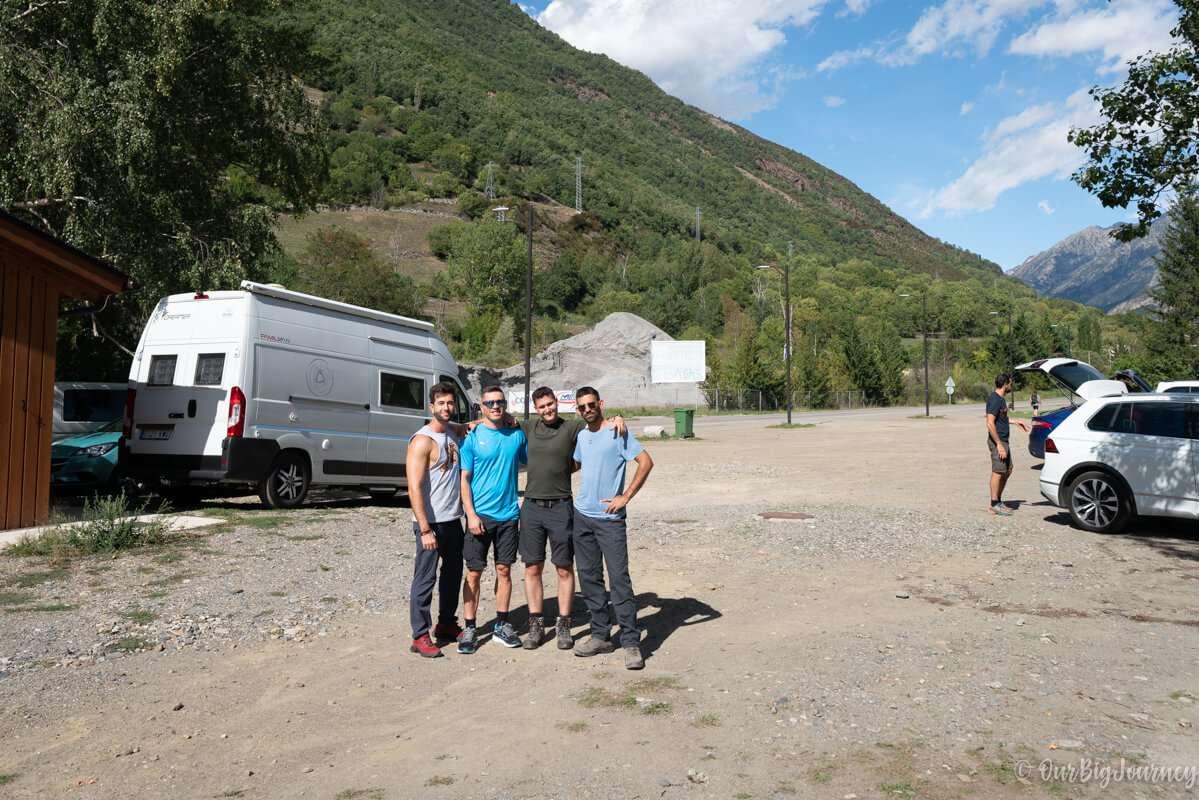
We drove to Eriste from Valencia, and parked there waiting for the bus at 15:30. The buses aren’t big and if there’s many people, they send another extra bus. At first we were struggling thinking about the need to do those boring 6 km first…
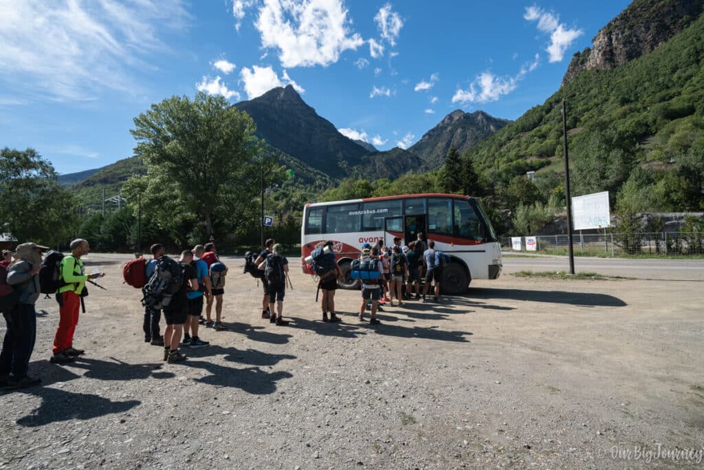
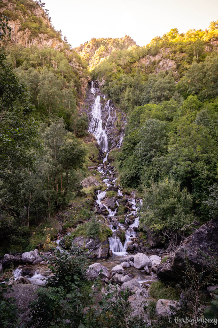
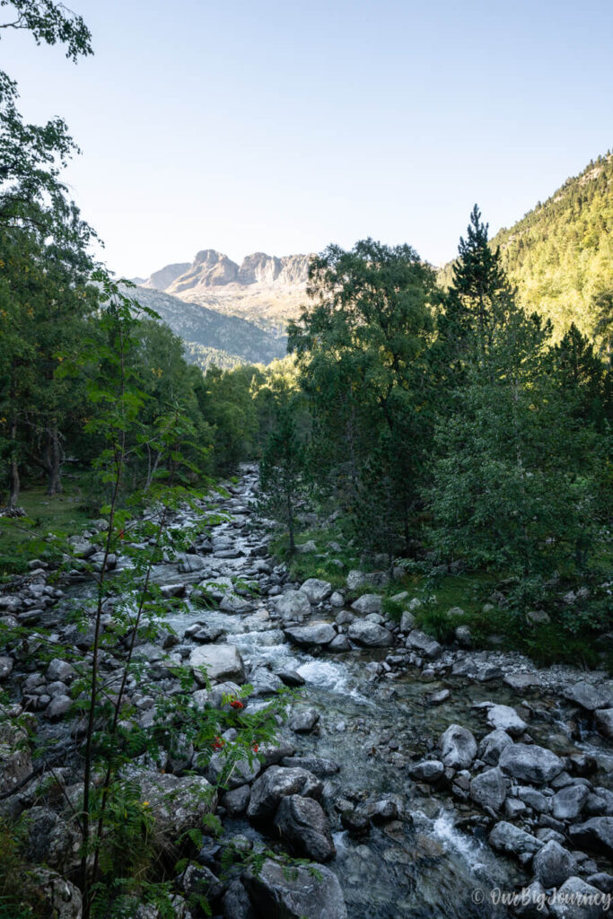
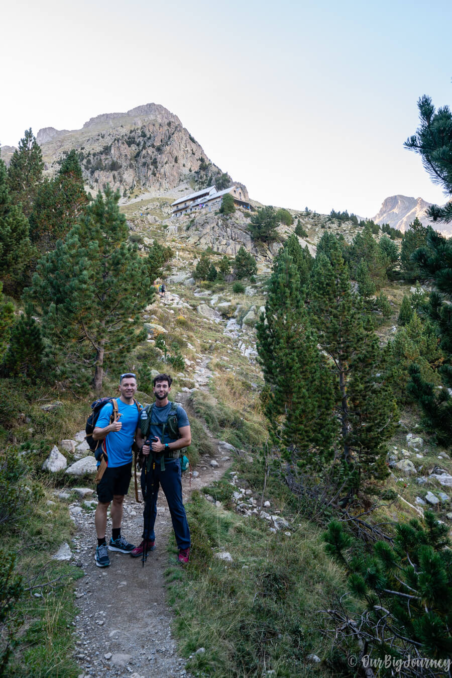
The bus drive is just 20 minutes to the parking, where we started to walk through an easy path. The walk is enjoyable thanks to the cute Espigantosa Waterfall, that welcomes you, and Eriste River that accompanies you until the shelter. We made it to Ángel Orús in 1 hour 45 minutes going at a normal pace. For some reason viewing the shelter in the distance gave us a good vibe because we felt the experience was going to be nice 😊

Our stay in Refugio Ángel Orús
The services in the shelter are sufficient. Basically what you expect from a decent one. Easy check-in (bring your personal ID!), rubber shoes, and sleeping rooms with clean toilets for every ten beds more or less.
They provide dinner at 8 pm and breakfast at 6 am. I can only complain about the limited options for the breakfast, considering that I usually have big ones… but dinner was ok and they also sell beverages. Ah! They also take credit card.
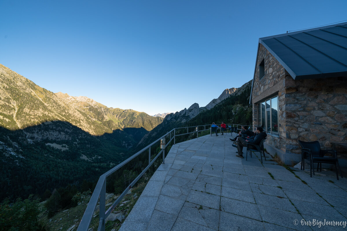
Around the shelter there’s nothing to do but to enjoy the views and the sunset. It’s a calm atmosphere and people were respectful with the sleeping time. Remember to bring your own earplugs in case you’re a sleeping princess (like me).
Starting the hike to Posets
In the early morning we woke up to have breakfast and got ready to leave the shelter in the dark. It was 6:30 am when we left it behind and gradually we went up following the track with our headlamps.
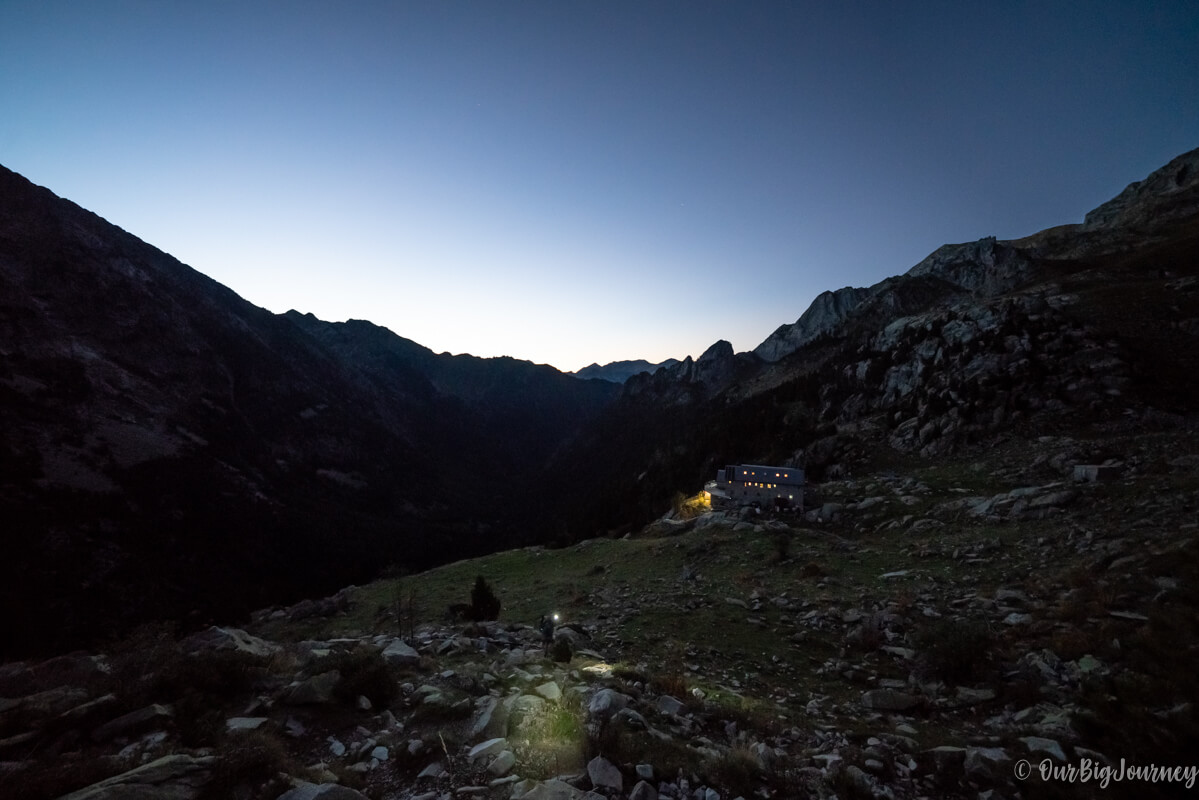
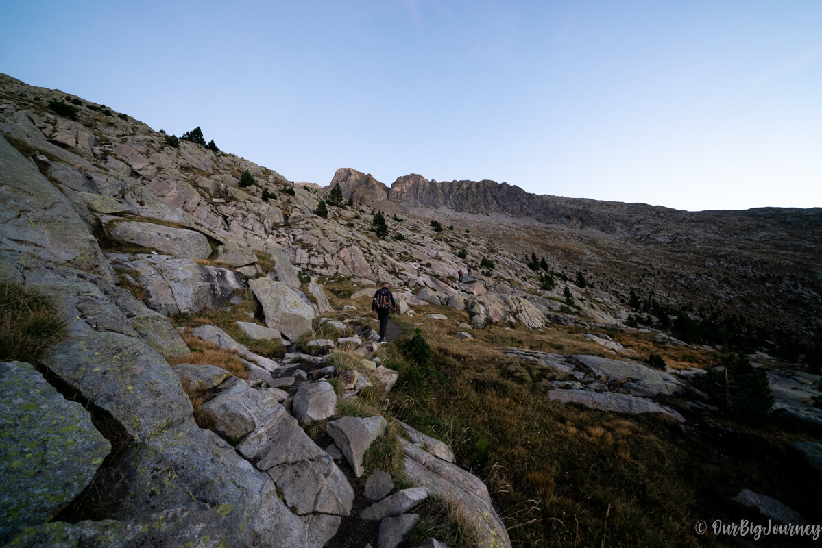
Around 7:15 the sun started to rise with no need for the lamps, and the views opened to a big valley with high peaks at the back. From here we couldn’t see the path to Posets Peak yet, and for good or bad, you can’t see it until the very end. The path is moderately easy, crossing big rocks, a bridge and basically going up for an hour.
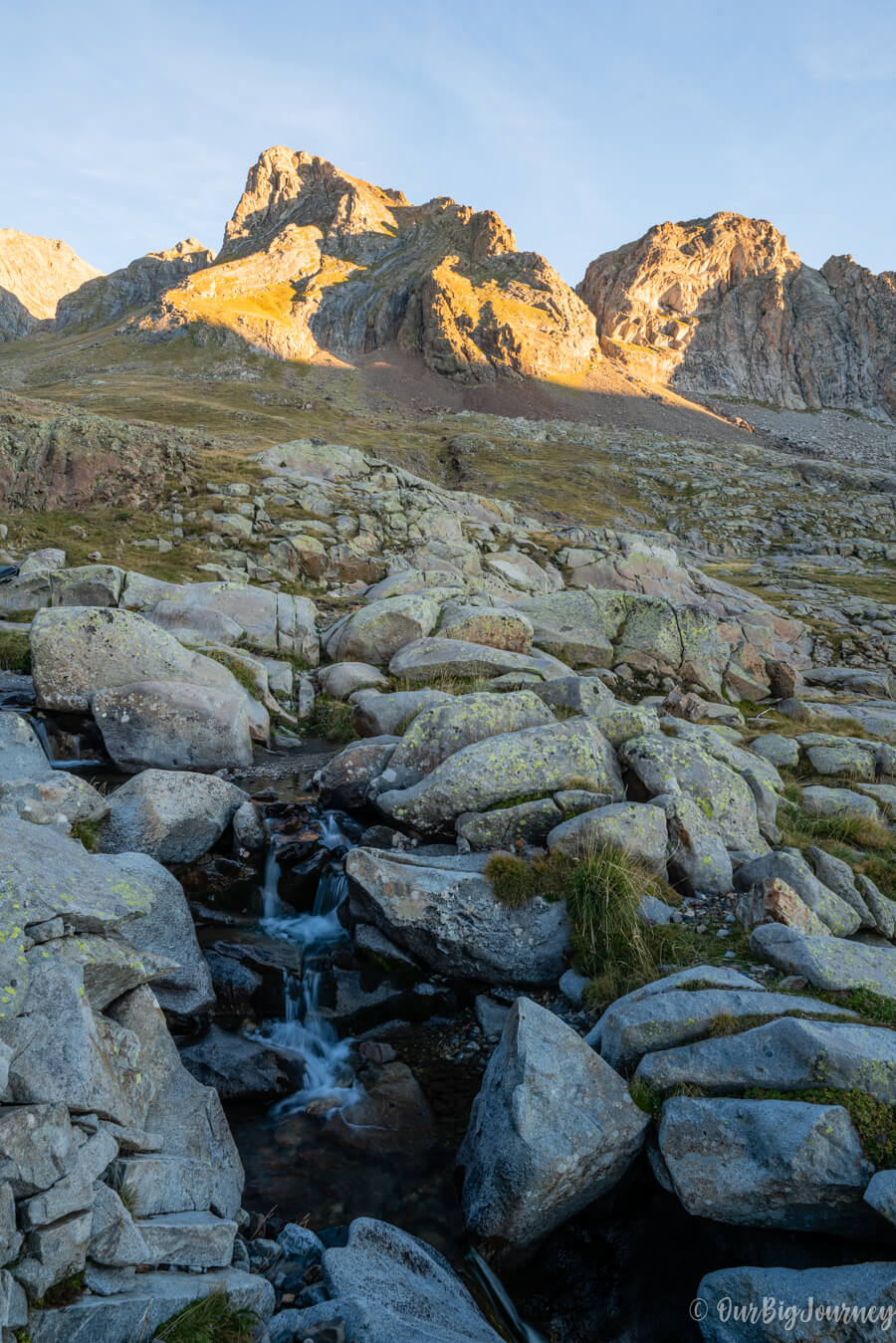
Going up!
After that, turning right, we saw the next destination: a window between two rocks at the end of a long hill called Canal Fonda. We knew this part was going to be hard, and … yes, it was… This part is stamina-demanding with more than 1 hour going up through a steep slope.
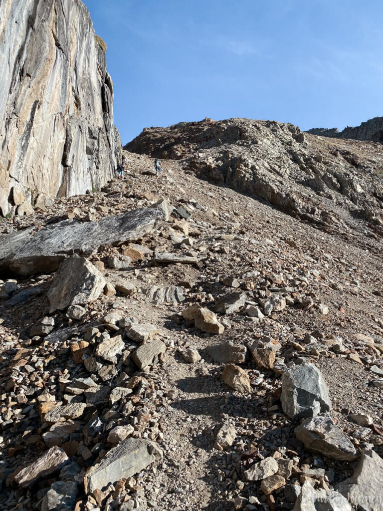
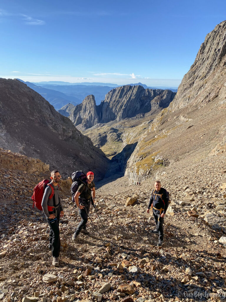
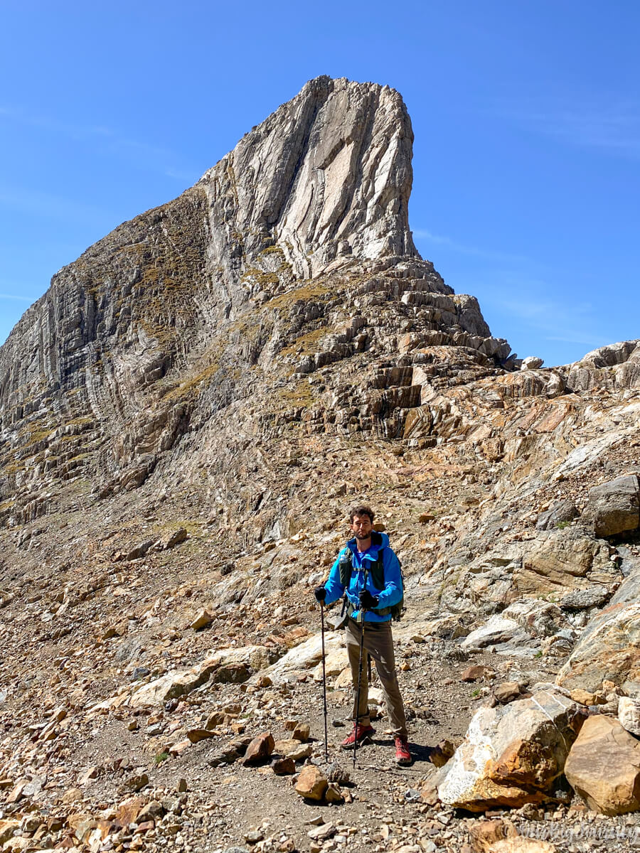
Once at the window, we could see the final destination and… another long crest going up. I packed my poles away for this part, because there are some rocks to scramble and towards the end there is an exposed pass, not suitable for those with (too much) vertigo.
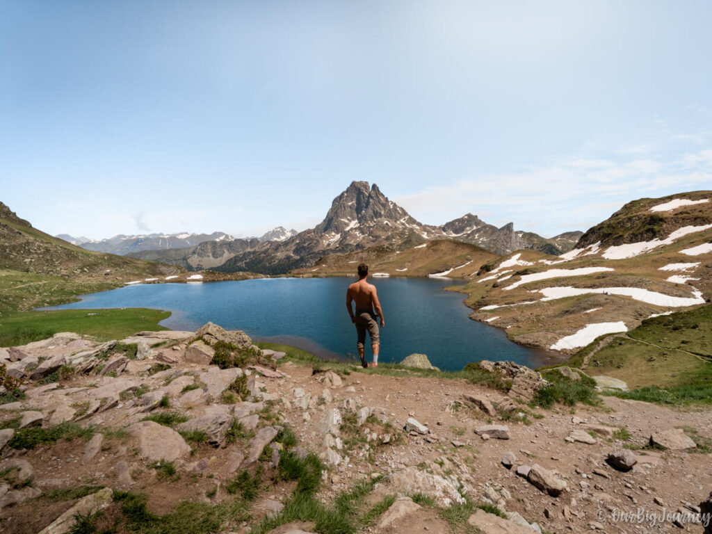
The summit of Posets
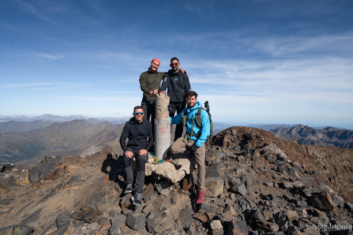
And finally the four of us made it! It took us a while to walk up here but the views are worth it. From the top of Posets we saw all the big +3000 mountains: Aneto, Monteperdido and Vignemale. Also some ibones or glaciar lakes are in between other peaks. I’m sure the views could be better with some snow, but still it was impressive to me.
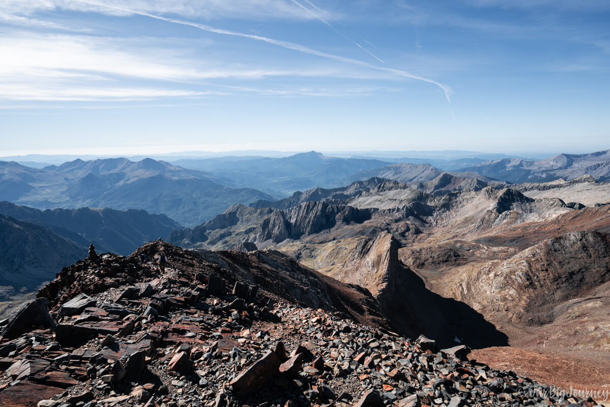

We stopped for a while since not so many people were there, just 8 people and us. We had a well deserved snack enjoying the views and the fresh air, before going down again.
Ibón de Lladarneta, the perfect place for a break
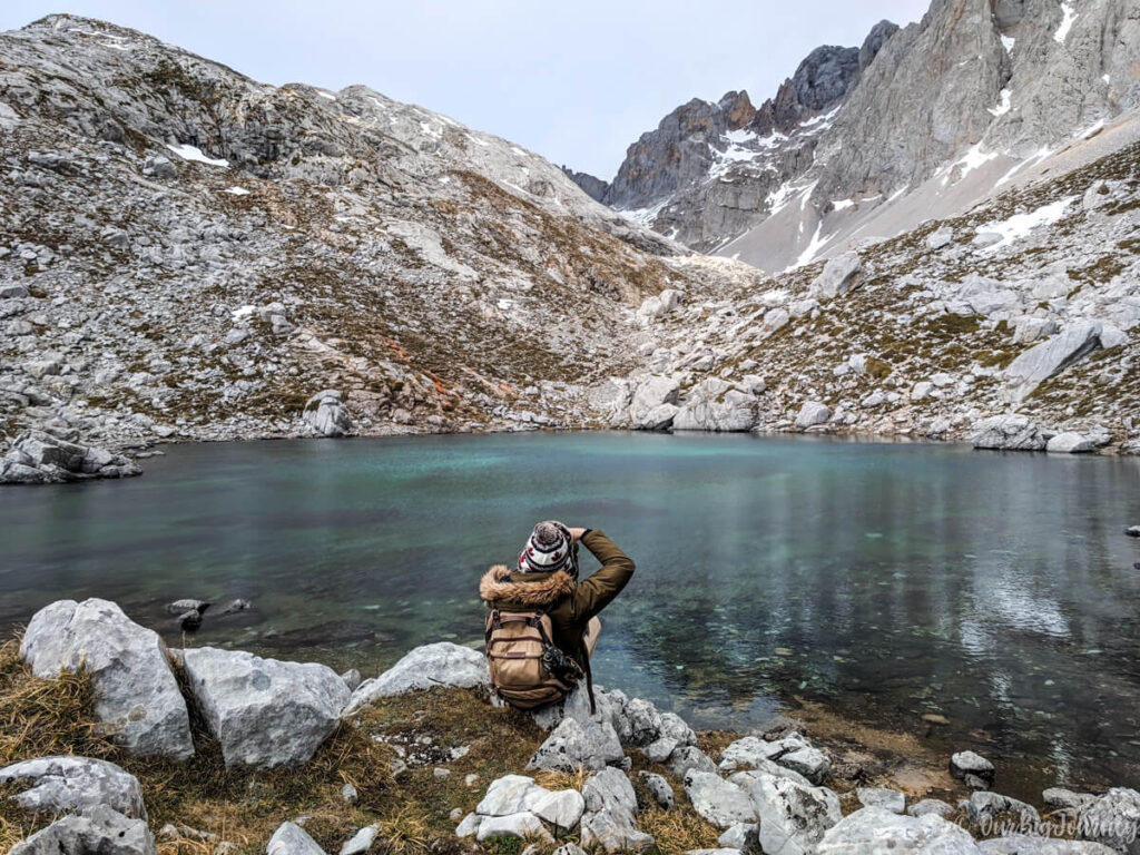
Instead of going down directly to the shelter we decided to visit one lake that is near the route, the Ibón de Lladarneta. An Ibón is a glaciar lake in Aragonese, and this Ibón is really really wonderful. It only takes some minutes to get there, and basically you have to deviate after Canal Fonda. Check the Alltrails map to spot the path. Unless you have time constraints, we recommend visiting this lake.
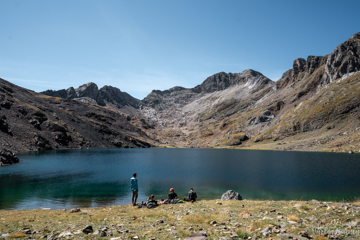
Ibón de Lladarneta was the perfect place to have a long break, wet your feet and… even swim! (Javi and me did it 🥶). For me it was one of the best parts of the experience because it was sunny, pleasantly warm, and we chilled on the grass. It was then when we realised we needed to take a bus to go back to Eriste. Remember that red and white photo for the buses with the schedules? Well, we were supposed to take the bus at 17:00 (the next one was at 20:30), it was 14:00 and we had roughly 4 hours to the bus stop… Terrible!
Running down
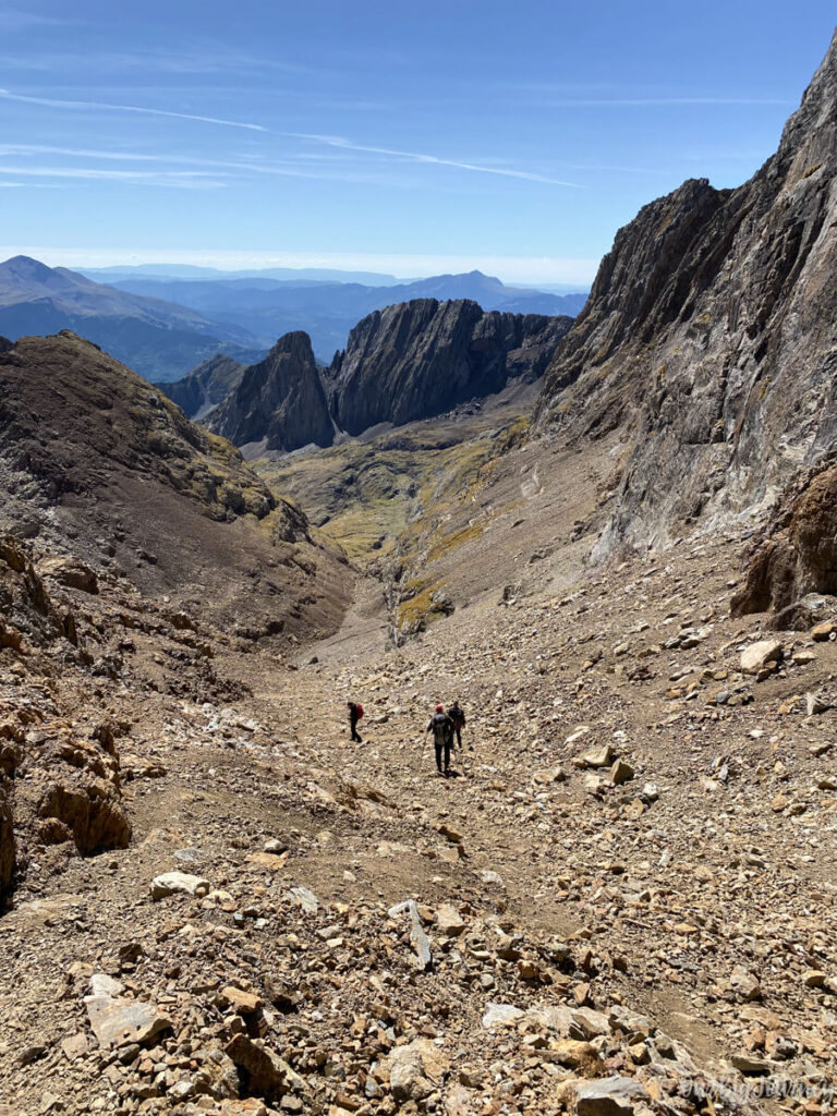
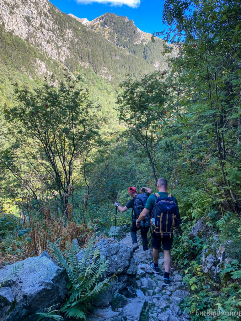
To add a bit of tension, Javi had a problem with his achilles and he was in pain. We started to speed up asking him if everything was ok, and he pulled with his mountaineer soul to reply ‘yes’ to every question. We did it ok going down to the shelter, where we paid the stay and took some things we had left there, like ours sleeping bags, and then we literally rushed down to the bus stop. The way that took us 1 h 45 min coming up, took us this time just 1 hour.
When we arrived to the bus stop, it was 17:00 pm, and we made it in time to go back to Eriste and have some hours to explore Benasque and have a deserved dinner 🙂
Looking for more hiking adventures? Check this out:
