Barrington Tops National Park | Blue Gum Loop & Rocky Crossing Hike
By Roberto – (Updated Mar 25)
⏱ 4 min
Looking for excellent hiking at Barrington Tops National Park? We did this hike on the 3rd day of our epic 5-weeks Sydney to Cairns road trip. It’s a bit demanding due to the distance to cover but the final waterfalls and the purity of the rainforest are worth the effort💚.
The night before we were sleeping in a tiny house at Monkerai in the middle of a farm, and besides the late frogs and early birds, we recharged our batteries to face this walk.
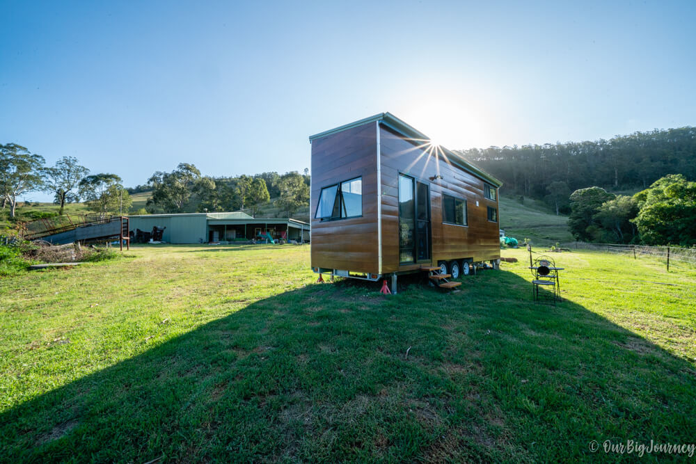
If you are looking for an eco-option to stay at and to try something different, we absolutely recommend this AirBnB. From this area you can do two famous walks: Gloucester Tops and the one in this post. The first one is a 8km hike and you need a 4×4 car to drive the more than 30km of gravel trail. That’s the reason why we did the Rocky Crossing Track.
Hiking at Barrington Tops Snapshot
- Location: Barrington Tops National Park near Dungog.
- Distance: 17 km including the Blue Gum Loop and all the lookouts
- Duration: 5-6 h
- Elevation gain: 550
- Difficulty: Medium
- How to go: The hike starts from Williams River picnic area in Williams River precinct of Barrington Tops National Park. To get there you need to take the paved Salisbury Road.
Blue Gum Loop
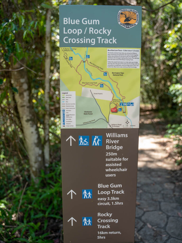
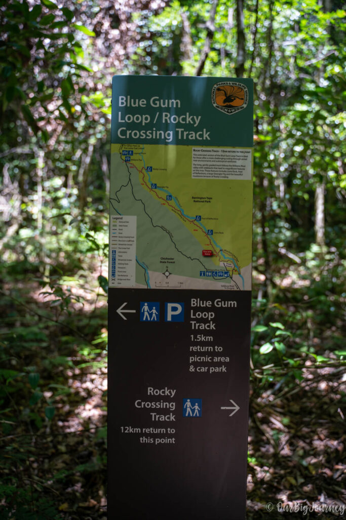
From Monkerai, we drove for 1h to the southern part of Barrington Tops National Park and parked at Williams River picnic area. To our surprise, only two other cars were there, and one kind turkey 🦃 welcomed us. Right in the parking lot, the Blue Gum Loop track starts. You can do only this short walk as a circular route, but the best views are at the end of the long Rocky Crossing track.
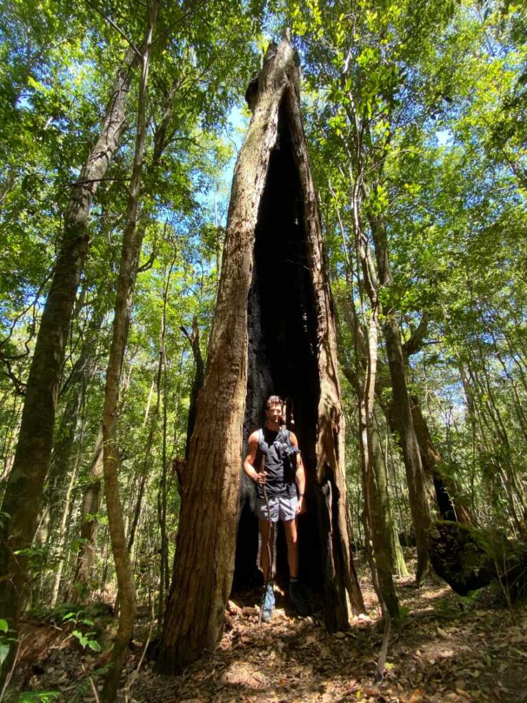
We started the hike following the clear route of Blue Gum, and crossed some bridges over William River. This easy walk gives you a good idea about the rainforest and its HUGE trees. After approx. 2km, the trail joins with the beginning of the Rocky Crossing Track, which is more demanding, but nicer. Remember to bring your hiking boots!
Rocky Crossing Track
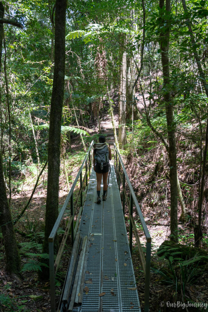
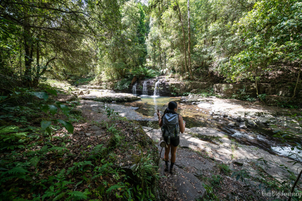
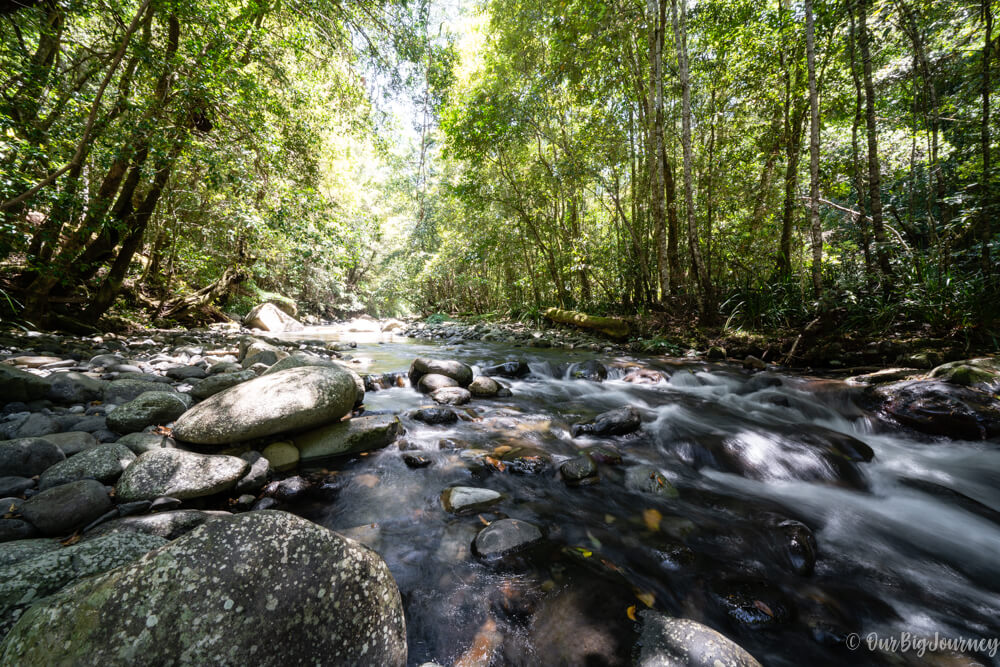
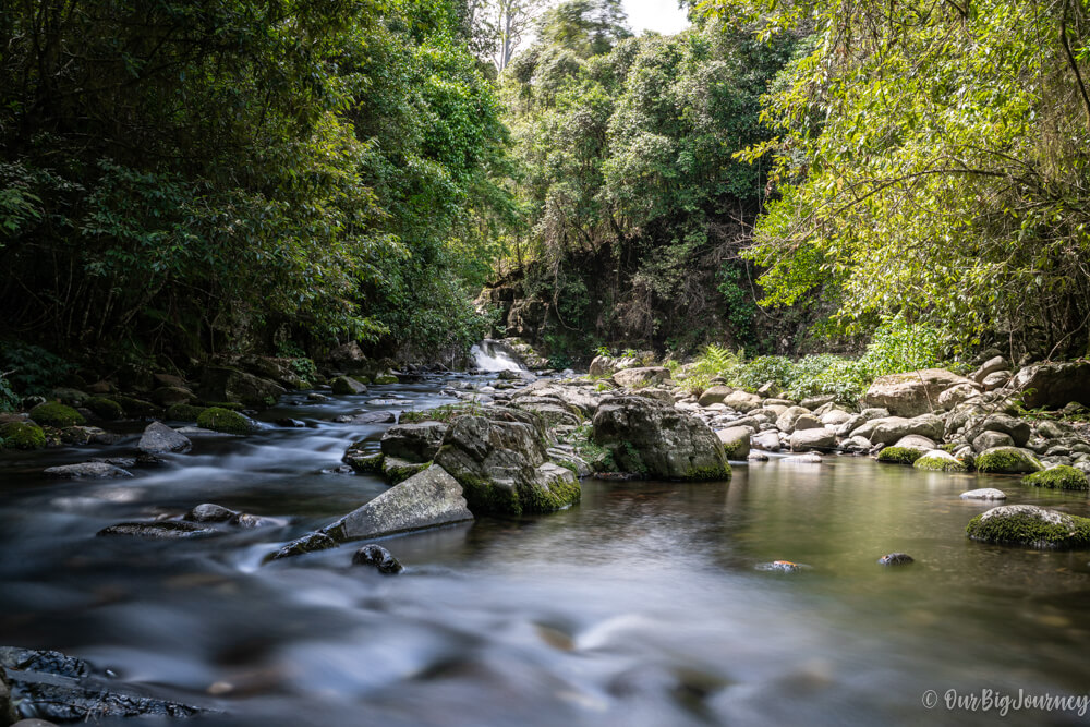
This track goes for 6 km until the Rocky Crossing, with optional lookouts/stops along the way. We recommend stopping at the Pool of Reflections, as we did, to have a break with cold beers and watch the pollywogs. There were many of them in the river when we visited in late November!
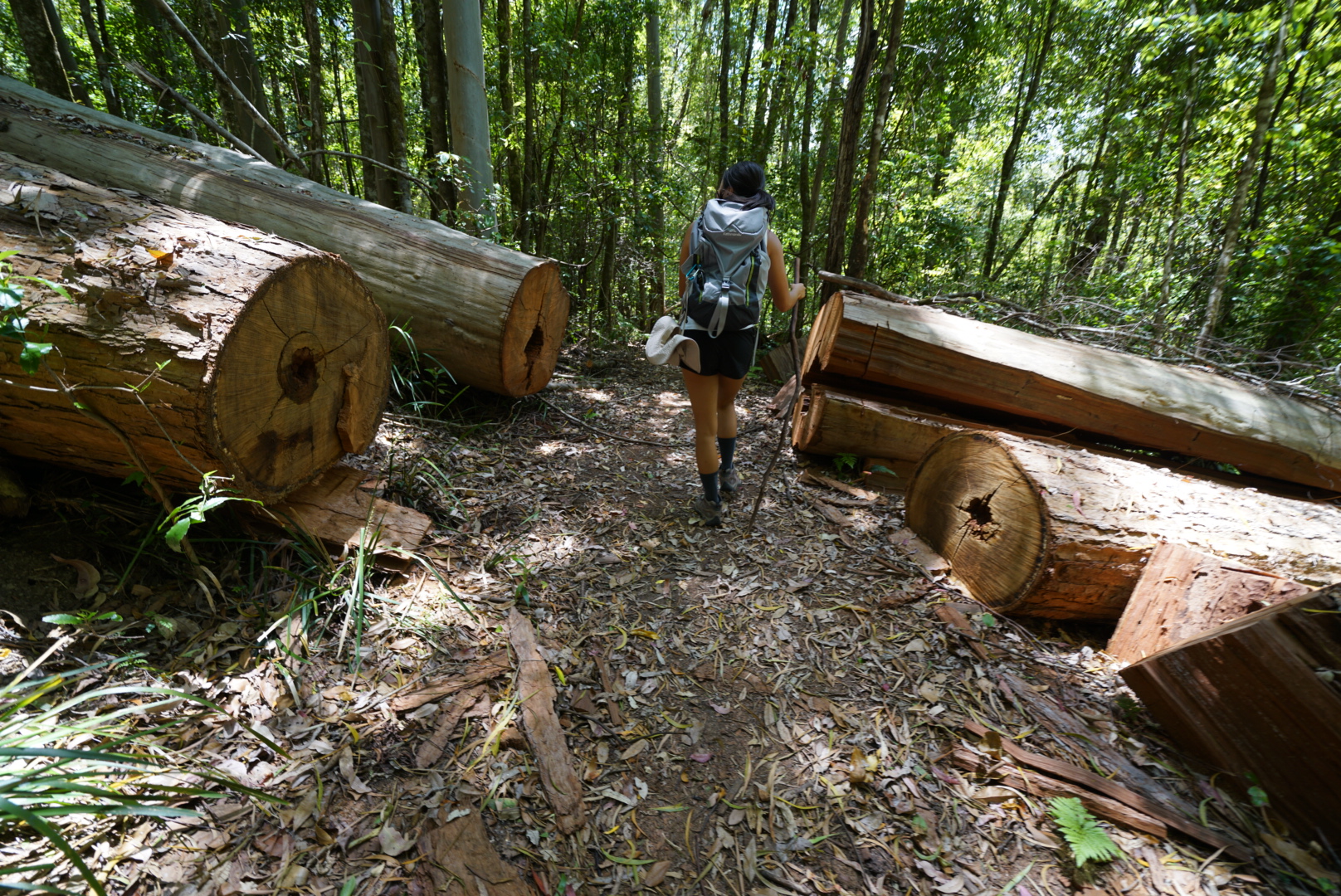
The path along the track is narrow, a bit rocky, mainly flat and with tons of green colours. We could also name the walk the Tree-Spiderweb Crossing, because there were an uncountable number of trees on the path where many spiderwebs were also cutting across the path – don’t worry, we didn’t see any big spiders but walked through enough spiderwebs to make a spiderweb jacket. Additionally, there are numerous broken bridges, and we needed to go around them.
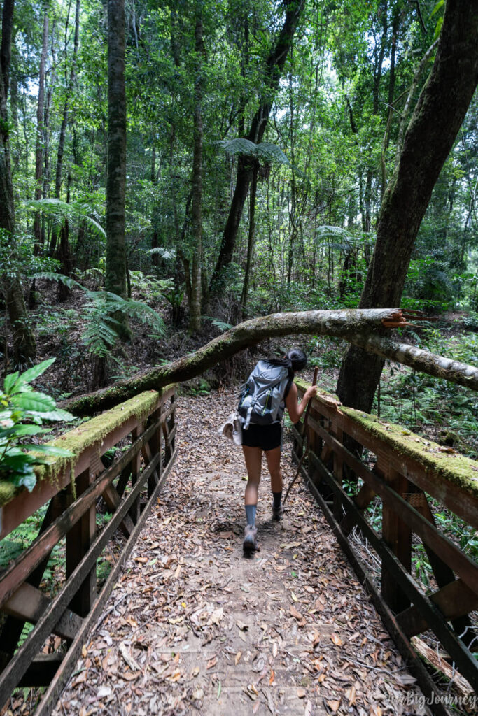
I was wondering if we were be able to see a tree fallen over a bridge, and yes! There was this one:
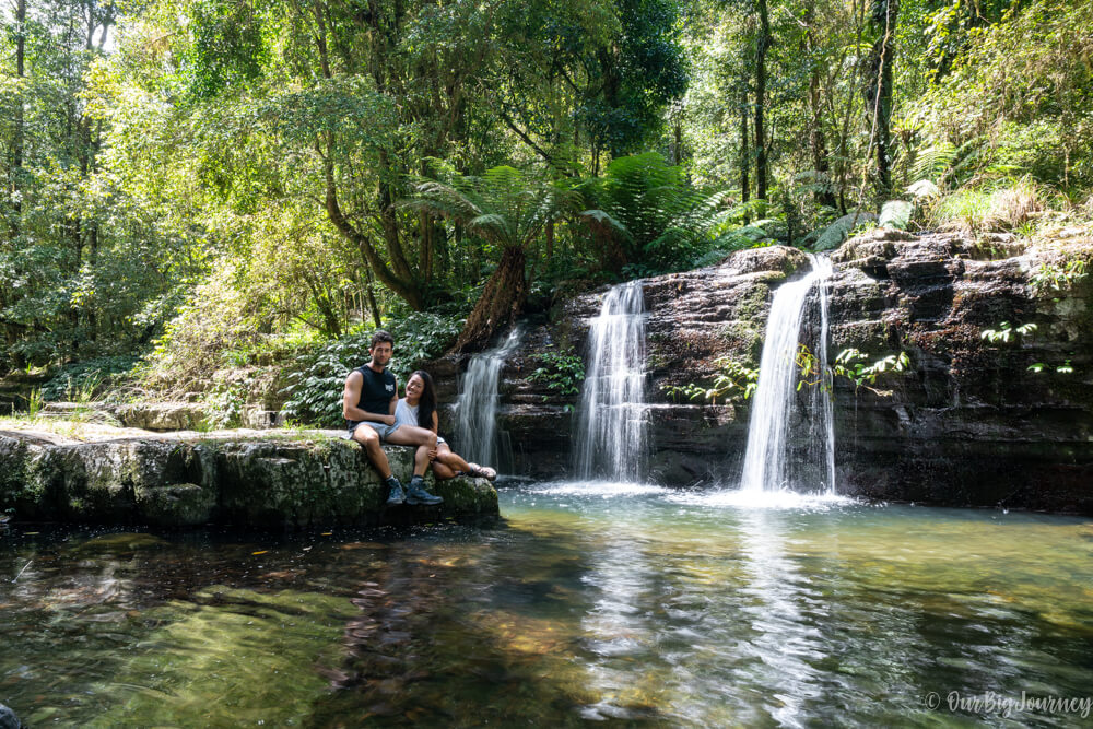
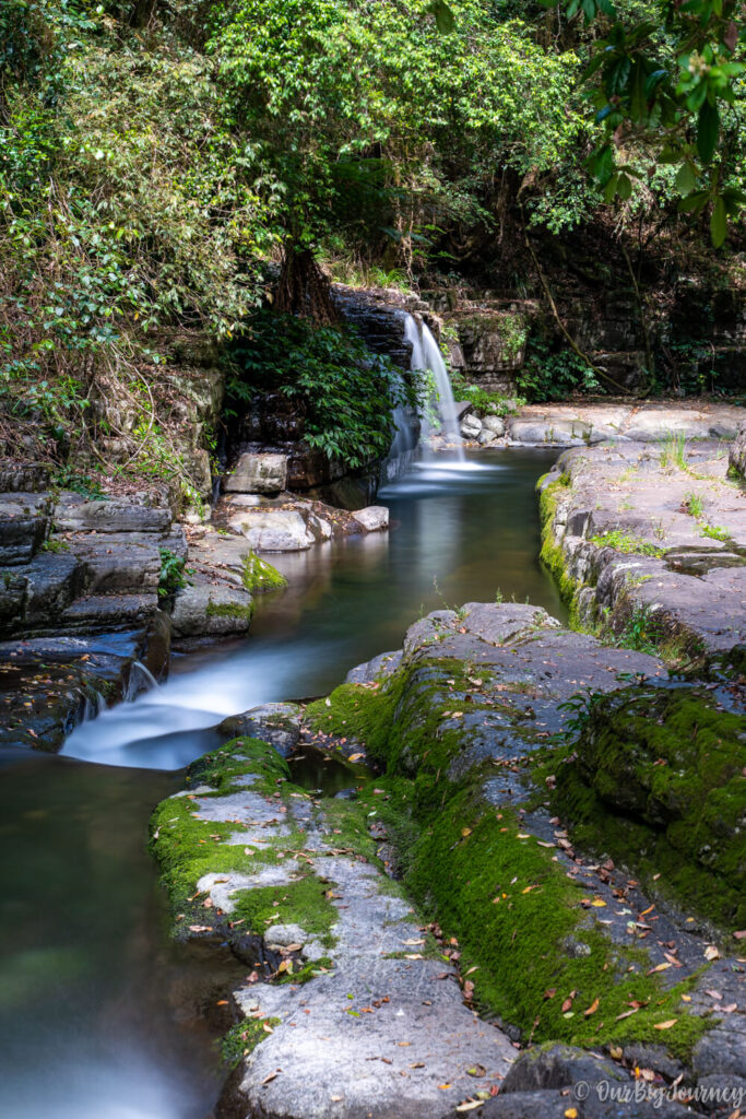
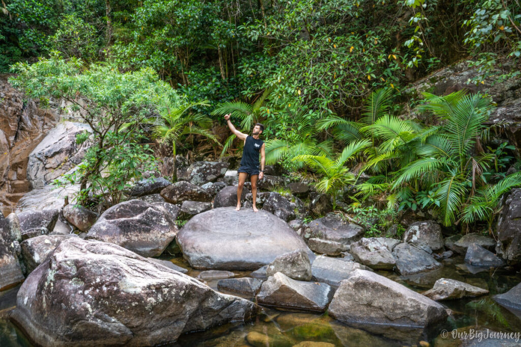
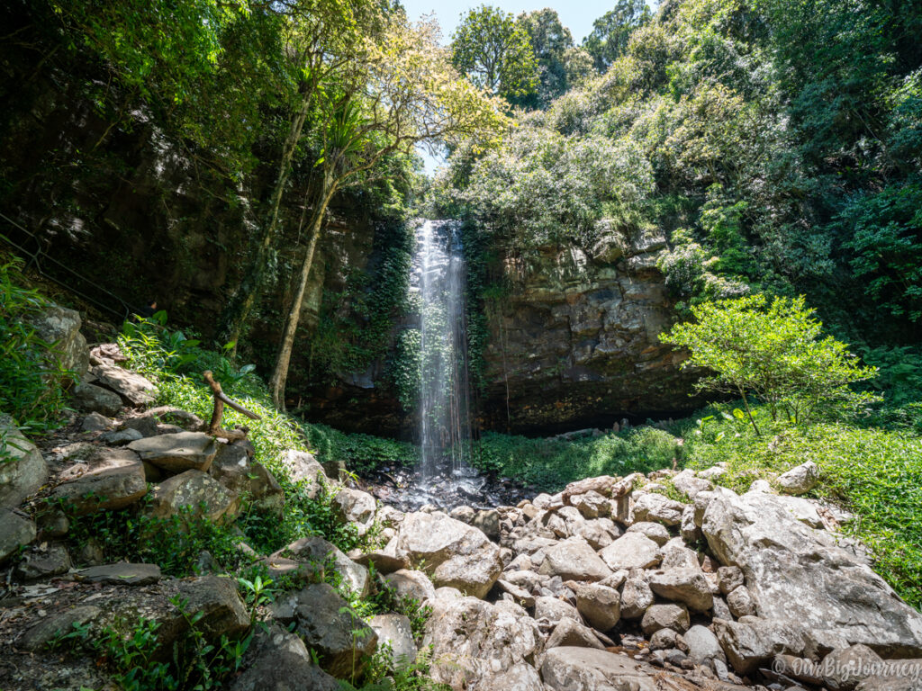
Towards the end of the route, there is a slope that goes down to the area with waterfalls of Rocky Crossing and the air becomes even fresher. The area was better than the photos we had seen before and we enjoyed our lunch. Aaand can you swim here? Only if you’re brave (we weren’t on this day) because the water is freezing!
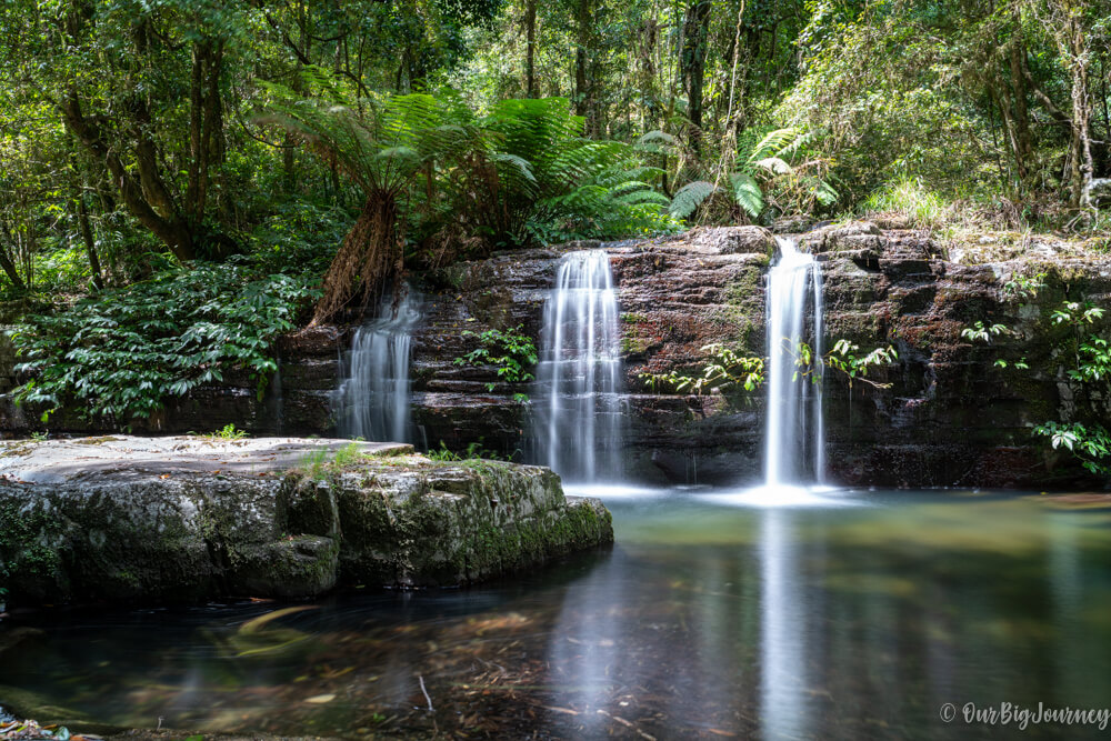
I also tried a new 10 steps neutral density filter from the Australian brand URTH (previously GOBE), to capture silk effects or clouds during the daylight – the results are more than good for the cost of the filters.
Finally, we did a non-stop 8km to return to the parking area. I looked for the kind turkey, but he wasn’t there anymore 🥲. From here, we drove to Port Macquaire to take a long shower, have dinner and prepare the next day of Our Big Journey.
Further Reading…
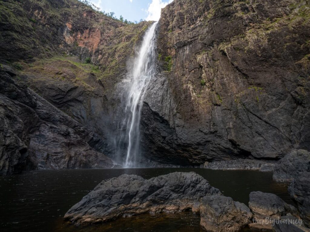
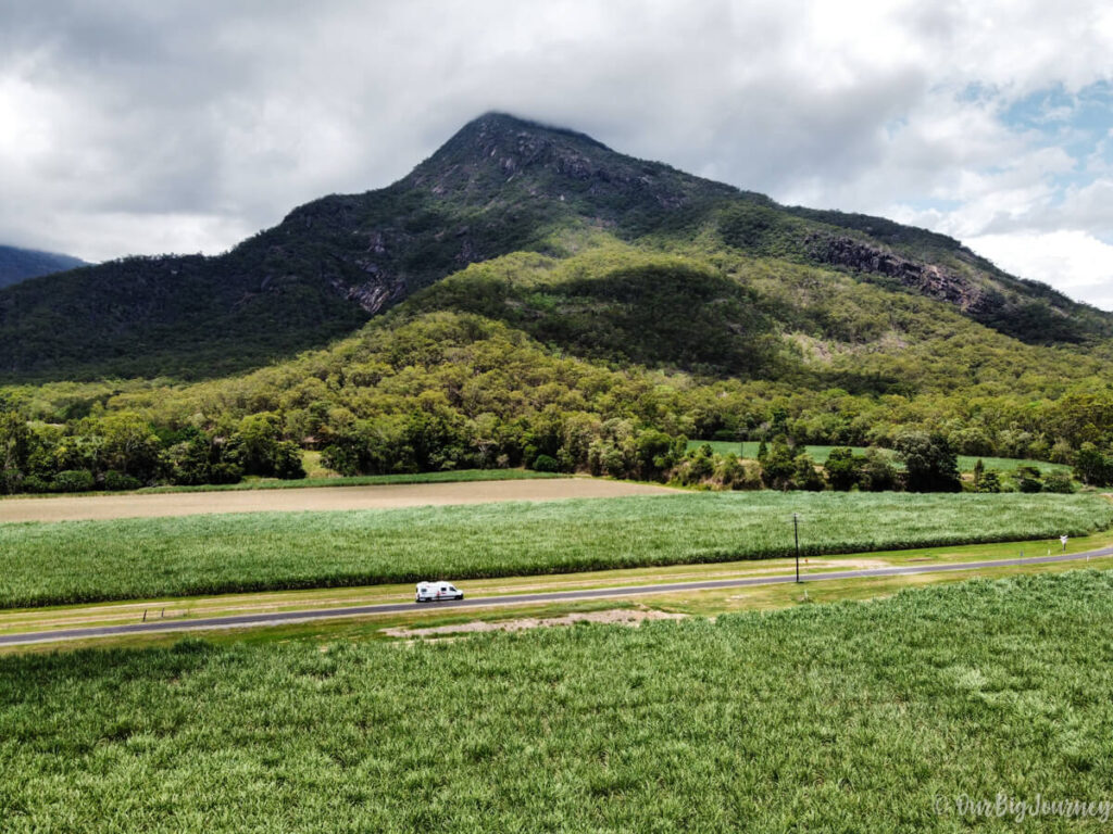
Hiking at Barrington Tops isn’t enough? Enjoy hiking as much as us and want to discover more of our recommendations? See below for some more great hikes in Queensland!



Leave a Reply
We'd love to hear from you! Your email is safe with us.