Caldera Blanca Hike in Lanzarote
By Roberto (Updated Nov 22)
⏱ 4 min
Hello everyone to another post of our adventures in Lanzarote! In this post we talk about Caldera Blanca hike, a really good option for discovering volcanic land in Lanzarote.
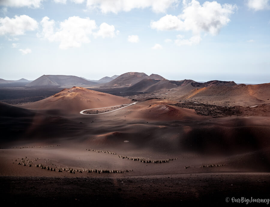
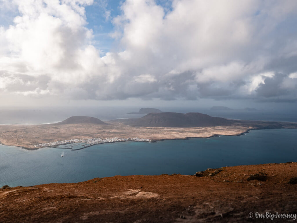
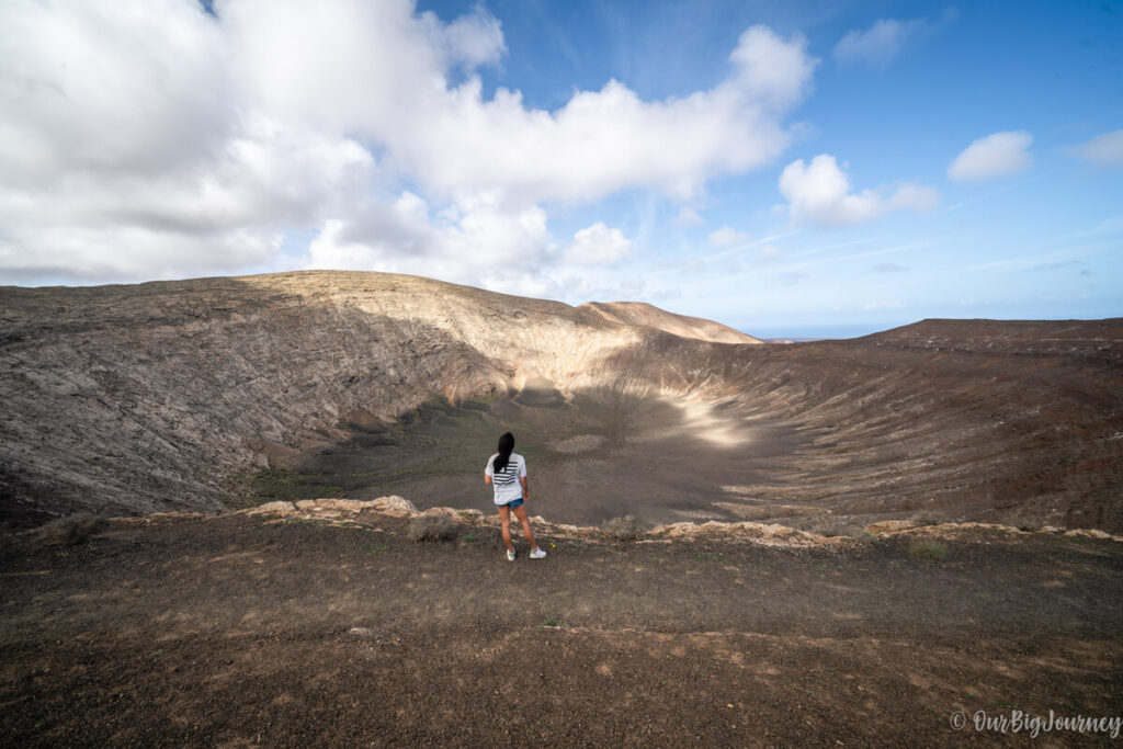
The particularity of this hike is that you can reach the summit of the highest volcano in the island, with 485 meters above the sea. From the top of the rim of crater you’ll have epic views of the surroundings. It is also the biggest crater of the Canary Islands, with 1200 meters long.
Table of Contents
Basic info of Caldera Blanca hike 🌋
Caldera Blanca is located right outside Timanfaya National Park, so you don’t need any permit to do this hike.
| Distance | 9,5 km (6 km if you just go to the crater) |
| Duration | 3:30 h (2h if you just go to the crater) |
| Elevation Gain | 400 |
| Route Type | Loop |
| Difficulty | Easy |
| When to go | Year-round |
The complete hike includes a first walk to Montaña Caldera (a small version of Caldera Blanca), the ascent to the crater and a complete loop around the crater, to finally go back to the beginning.
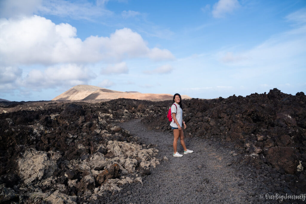
A shorter version (that we did), is to reach only the crater in a in-and-out hike without doing the full loop. In case you have less time, or want to walk less, it’s a nice option and we really recommend its visit.
How to get to Caldera Blanca
The staring point of the hike has no loss in Google Maps. It’s name is Caldera Blanca car park or aparcamiento Caldera Blanca. To get to this car park, you have to drive towards the town named Mancha Blanca.
The hike in detail
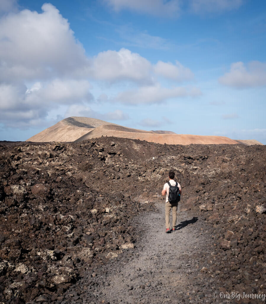
The route begins in this car park located in the lower part of the Caldera and continues going up through volcanic rocks until the crater of the volcano, which is more than two million years old.
Caldera Blanca hike gives you the opportunity to walk through lava rocks from the very beginning, and that’s something you can’t do in many places on earth. Once you leave the parking area, you walk following a clear and flat track. This track has information signs that allow you to know more about the origin of the island and the terrain, or curiosities like… why people use the craters to land or farm.
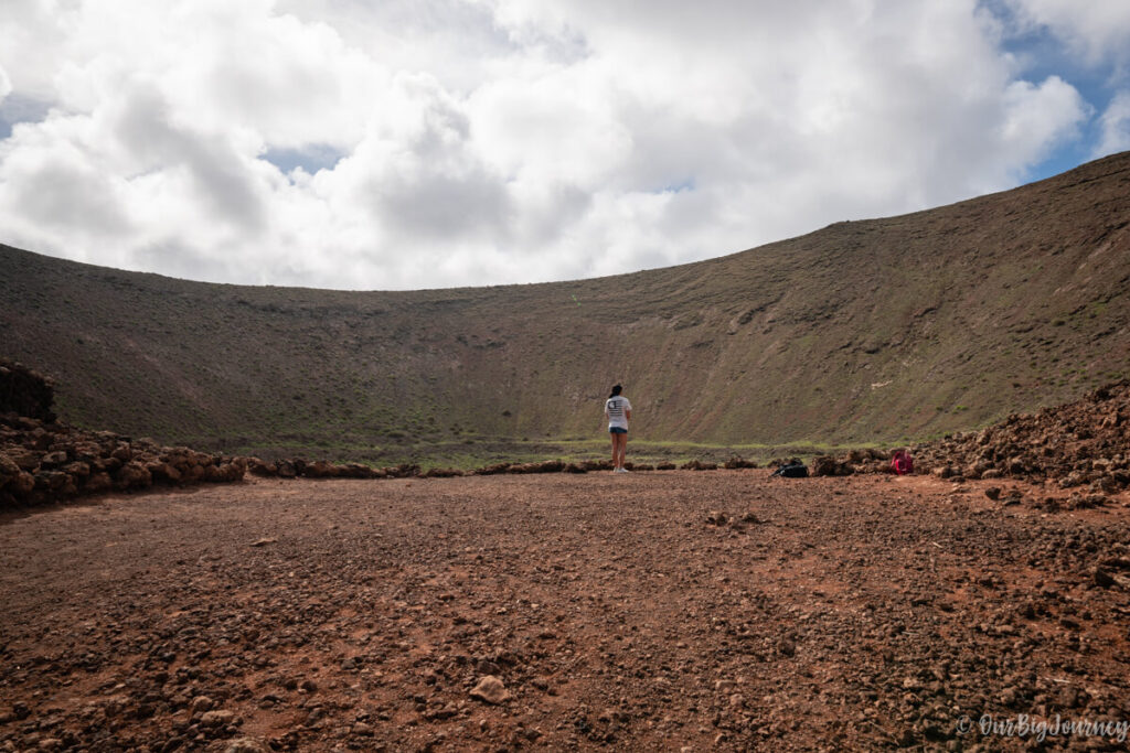
After 30 minutes on this way, you reach Montaña Caldereta, a big volcano crater, but nothing like its bigger brother.
From here, you go up towards the Caldera Blanca crater. The ascent is gradual but we highly recommend bringing hiking shoes or trainers minimum (but no sandals!). On the top of the crater, you can feel fresh wind so better bring a jacket too.
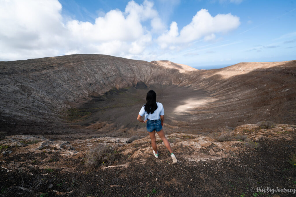
If you’re lucky and got a clear sky, you can see the ocean, other volcanoes and the immense crater below you. If you want, you can go back (this would be the short route that we did) or do the complete hike bordering the whole crater. This will add more than 1 extra hour, but you gain meters of altitude for better sighs.

